
Time of the year: from spring to autumn
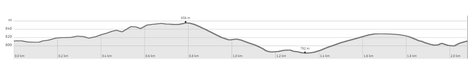
Duration: 1 hours and 30 min
Length: 2 Km
The route starts in Passo Camponzin, where it is possible to find place to park a car. It can also be reached on foot, after getting off at the “Sardagna tornante SP85” stop on extra-urban bus 202, which connects Trento to Vason. Or from Sopramonte following the S. Vili Trail going eastward and uphill. The entire area of the Castelar de la Groa is home to ruins of the artillery stronghold and to the military roads that connected the various stations to one another. From the pass, you take the paved road that leads to Maso Camponzin, and after a few metres, you take the dirt road to your left, which leads towards the North-East. After a fork in the road, you begin to climb with a few bends, until you reach a clearing where you can see some military structures in caves. The dirt road becomes narrower and, going downhill, it follows the northern face of the mountain. Following the signs for “Percorso della Grande Guerra” [Great War Route], the path enters the woods and reaches a cave, where a trench begins, which you are invited to follow. Now, the route climbs up the small valley again, leading to the military road serving the fortifications. Going right, the signs lead towards another trench, with other structures in the vicinity. You soon return to the starting point. Along the path, there are tables describing the natural aspects that characterise these areas. The direction of this tour can also be inverted, and even varied by following the various branches in the paths: it is not difficult to find your way back to the starting point.
Learn more about the walks and trails of Monte Bondone and the Piné Plateau
Image gallery


The path
Don’t miss
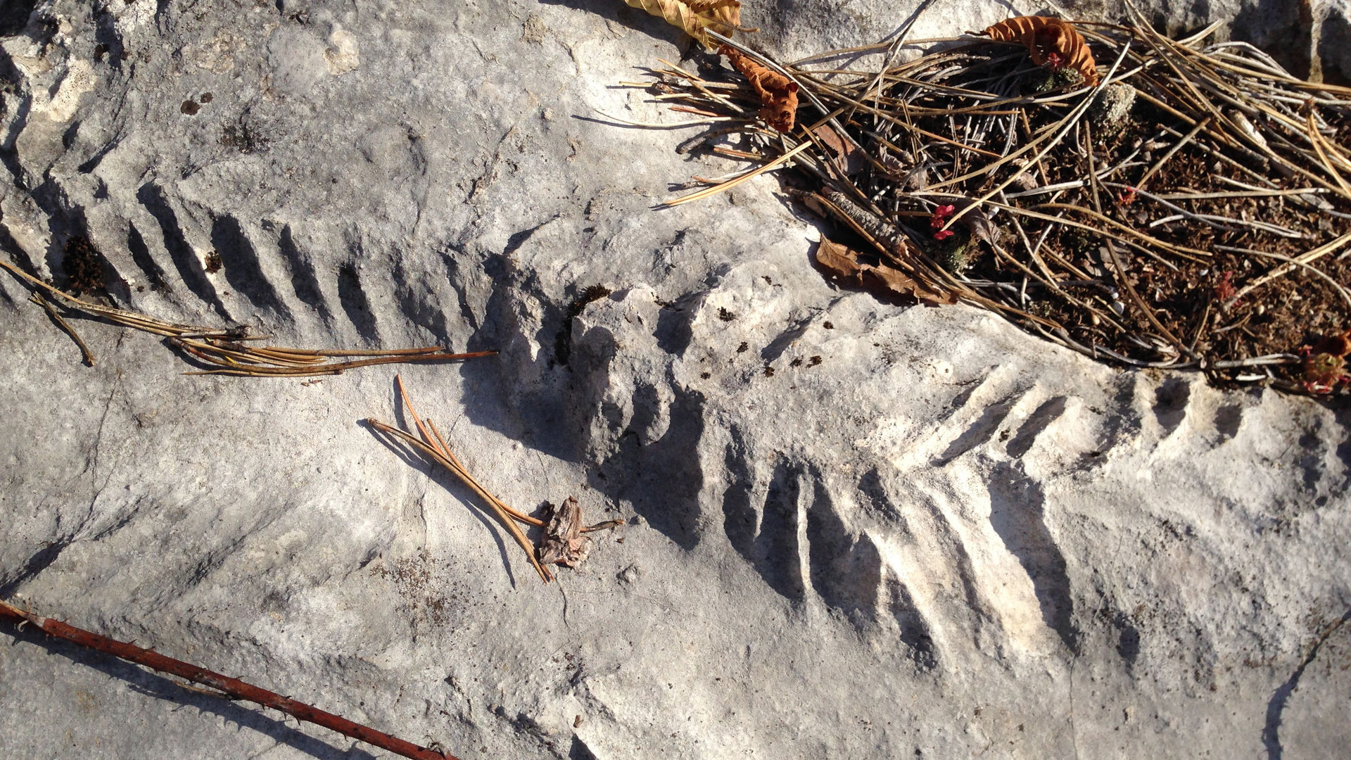
Caves and trenches from World War One, 1914-1918.
Start point
Contacts