Time of the year: from summer to autumn
Duration: about 2:30 hours
Length: 16 Km
It includes no technical stretches. Most of the ascent is on secondary tarmac roads; the descent on a well-maintained dirt road.
Author’s recommendation
For the more experienced, it is possible to reach the peak of Monte Brada with a diversion: the Cros de Mala. A panoramic balcony over the Valle dei Mocheni and its Lagorai peaks, equipped with tables and benches to fully enjoy the view.
The route in detail
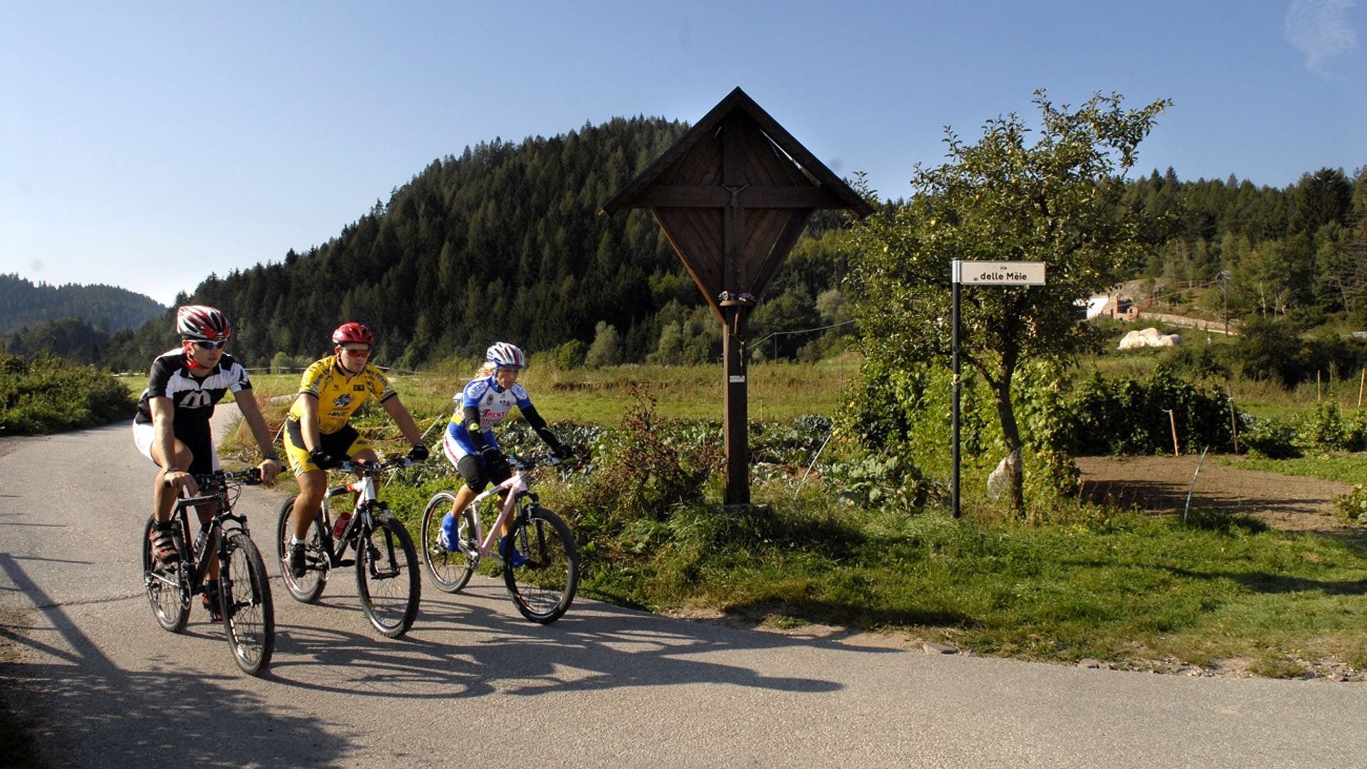
From Miola di Piné, head for the hamlet of Faida. Before the church, turn left onto a secondary tarmac road heading for the quartz quarries. At the crossroads, proceed in the direction of Martin e Costa Refol. Continue towards Cros de Mala up a tarmac road which becomes dirt after a few hairpin bends. Leave the dirt road at a place near a hairpin bend in order to follow a track that branches off from it. After 20 m, the track joins another dirt road that runs along the northern slope of the mountain. After a few hundred metres, the road begins to descend. Follow it to get back first to Faida, then to Miola di Piné.
Learn more about the itinerary on Outdooractive
Learn more about all hiking itineraries
Image gallery