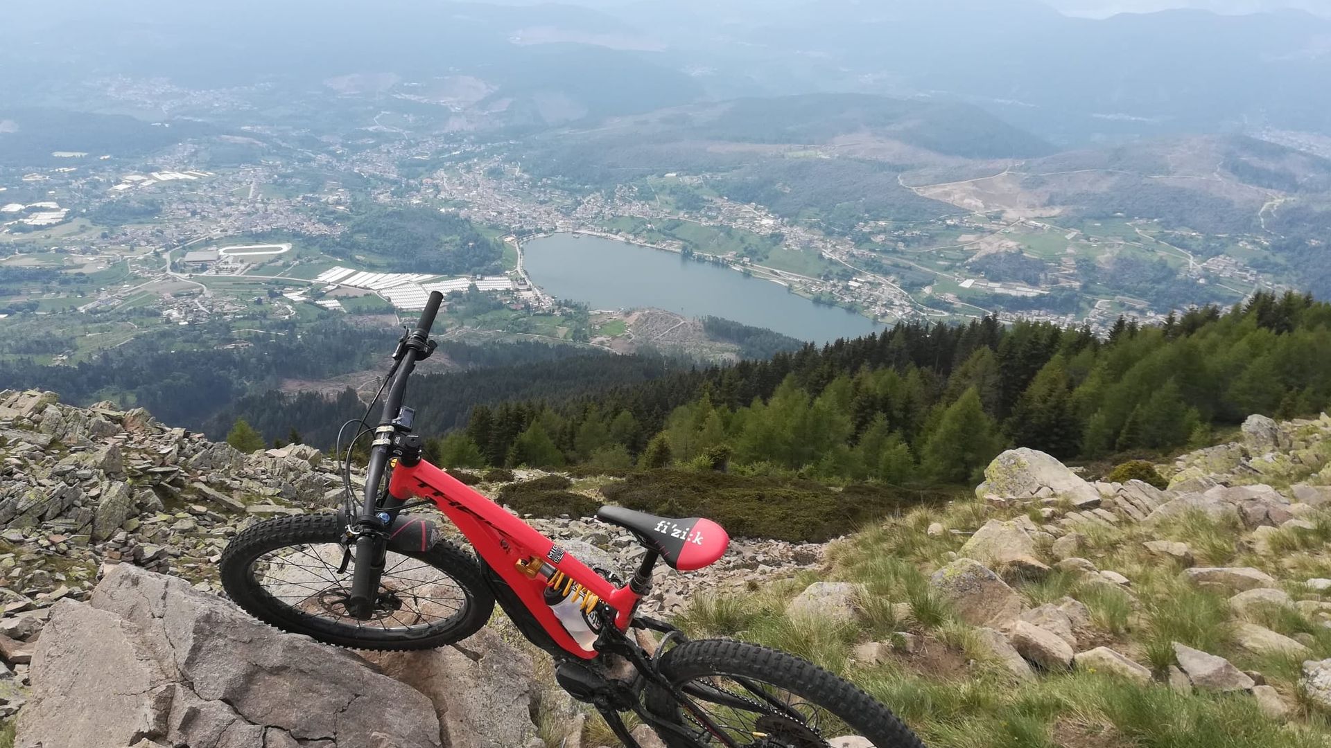
The Dosso di Costalta (1955 m) is an unmissable destination for visitors to the plateau. The view from the summit overlooking Lake Serraia is splendid: one can admire the Brenta Dolomites in all their arched eastern flank, the Lagorai and the Dolomites to the east. The hike involves a considerable elevation gain and requires good technical preparation especially in some sections (there are some pushing sections), much of the ascent is on a forest road but in the final part the trail turns into a path.
Author’s recommendation
Very suggestive route to be covered also on foot, as an alternative to the classic ascent from path 404. The "La Casara" bivouac (at 3/4 of the way) has tables, benches, a source of water and fire point, ideal for a well-deserved break. With favorable temperatures it is possible to climb up to 1955 m of the Dosso di Costalta even at night.
The route in detail
Go up from the hamlet of Fovi on a forest road following the indication for Casara. From the bivouac continue on 404 SAT path for 4 hairpin bends, on the fifth take the left path called "Senter dei Russi" and continue with ups and downs for about 1Km. Turn right to the saddle of Costalta and go up for "Prà dei Morbi" then continue in south-east direction between the lawn and larches where you can see the top with the metal cross. After reaching the summit, descend by the path made earlier to the junction with the Senter dei Russi and then take the right descending to the Redebus Pass (possibility of refreshment; check opening). From here continue in the direction of Bedollo, for one km on asphalt road until the fourth hairpin bend, on the right take the Pompea forest road that continues at first without elevation gain and then climbs in the last piece on a challenging path where it is necessary to push the MTB (about 100 mt in hairpin bends). After the steep section, take the Piazzola Road that leads back to the starting slope of Dosso di Costalta and the Ice Stadium.
Learn more about the itinerary on Outdooractive
Learn more about all hiking itineraries
Image gallery


