Time of the year: from summer to autumn
Duration: about 5 hours
Length: 10,7 Km
The Rujoch is a peak with an unmistakable shape, an endless ridge that forms a large semicircle. To fully enjoy its slope, the proposed round tour is a must. Being a rugged mountain, not frequented by mass tourism, it is the realm of many animals that live in the high mountains; equipped with a camera, you are sure to capture some of them.
Along the proposed tour some points of interest are to be found : Polpen pass, Rujoch top and ex mounatin hut Tonini.
The route in detail
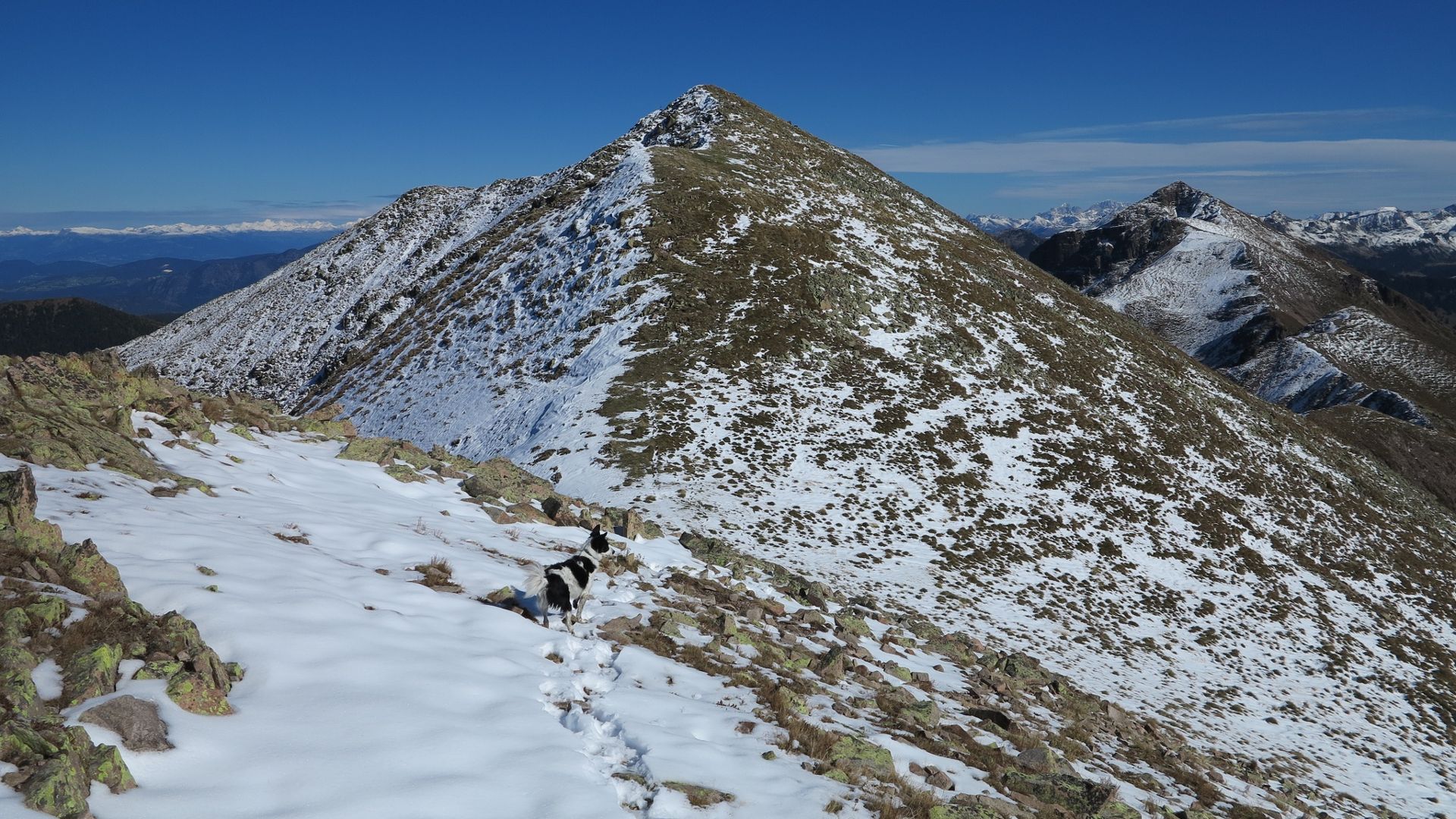
From the starting point (see the 'getting there' section) we set off on the tarmac road which leads to Stramaiolo hut and then continue along the dirt road in the direction of "Malga Stramaiolo Alta"; from here a fine path (No. 462) starts out, which leads through larch, rhododendron and sorb of the birdman woods to the Polpen pass. Continuing along the path we climb the long ridge and proceed along the large watershed between the Altopiano di Pinè and the Val dei Mocheni; having made the ascent, a few stops to replenish lost energy and to take a few photographs are highly recommended.
Continuing on, we come to a summit called "l'Uomo Vecchio" (the old man) with its characteristic little stone cairn to mark it; from here the path continues well marked but a little rougher on stony ground. And here we are at the metal cross of the soaring Rujoch peak, which at 2413 metres above sea level offers 360 degree views, from the Brenta group to the Ortles-Cevedale group, from the peaks of the upper Val dei Mocheni to the Cima d'Asta group. We descend for a few metres and then climb to the Schliverai Spitze 2432 m, marked by a rustic wooden cross; from here our tour will be all downhill.
Following the large ridge after about 45 minutes, we arrive at the junction with path 340, which leads to the former Tonini Hut in about 20 minutes. Unfortunately, the refuge is not accessible as it was destroyed by fire in December 2016. From the refuge, or what is left of it, with path no. 443 we head towards the Campivel pass and then in a short time to Malga Stramaiolo, where in summer it is possible to sample the delights of typical cuisine. From here it takes another 15 minutes to reach the starting point; it is impossible not to notice when looking up the beauty of the tour we have just done.
Learn more about the itinerary on Outdooractive
Learn more about all hiking itineraries
Image gallery


