
Time of the year: all year round
Duration: about 4:21 hours
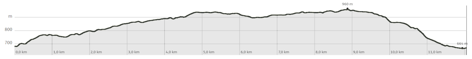
Length: 12,1 Km
In addition to the natural beauty, the presence of man is also notable with the numerous quarries for the extraction of porphyry.
We recommend a visit to the Casa Porfido Museum, located in the historic center of Albiano.
The route in detail
From the sports centre in Albiano, start off immediately uphill on an asphalt road with very little traffic in the direction of Lake Santa Colomba; you pass the locality of Spiazzi and come to a small playground and a fountain. Continuing along the road, which is now flat, you briefly cross an area used for quarrying porphyry until you cross the road that goes up to Santa Colomba Lake in the locality of Pra Nardot. Follow the signs for Mongalina and enter the forest on an easy forest road, passing the pleasant meadows of Mongalina until you come to a crossroads; here follow the signs for the Santa Colomba lake (path no. 421) on a path, first on a false level and then decidedly uphill, and you will reach the lake with the possibility of refreshment at the hotel of the same name. Continue following path no. 421 which, passing near Doss dei Brusadi (which can be reached in a short time by following the signs) leads towards Pian del Gacc. Once you arrive in the Malga locality, instead of taking the tarmac road that leads towards Pian del Gacc, continue along the dirt road that climbs slightly towards Montepiano where it is possible, by following the "Sentiero degli Gnomi" (Gnome Path) to observe the wooden sculptures that tell the stories of the forest to those who know how to listen. Now follow the signs for Pian del Gacc/Sentiero Montepiano e Gnomi (no. 16) and continue through the woods with a few ups and downs until you come to a fork in the road, which soon leads to the tarmac road to Pian del Gacc, where there is the possibility of refreshments. From Pian del Gacc, following the signs for Albiano, on a nice, mainly downhill path, we again reach the village of Albiano and from here we soon reach our starting point.
Learn more about the itinerary on Outdooractive
Learn more about all hiking itineraries
Image gallery


Start point
Contacts